
Are you tired of inaccurate property lines costing you time and money? You can build precise land maps without expensive subscriptions if you follow a proven workflow.
This guide breaks down sourcing, layering, and validation. You will learn how to pick the best GIS mapping software and verify every acre with confidence.
Why Accurate Land Maps Matter
Bad maps create disputes, failed deals, and permit issues. Accurate maps confirm acreage, ownership, access, and risk zones. They build trust with clients and agencies.
How To Choose The Best GIS Mapping Software
Choose software that supports shapefiles, GeoJSON, KML, and satellite basemaps. Look for coordinate control, GPS import, and overlay management. It should handle large county datasets smoothly as of August 2026.
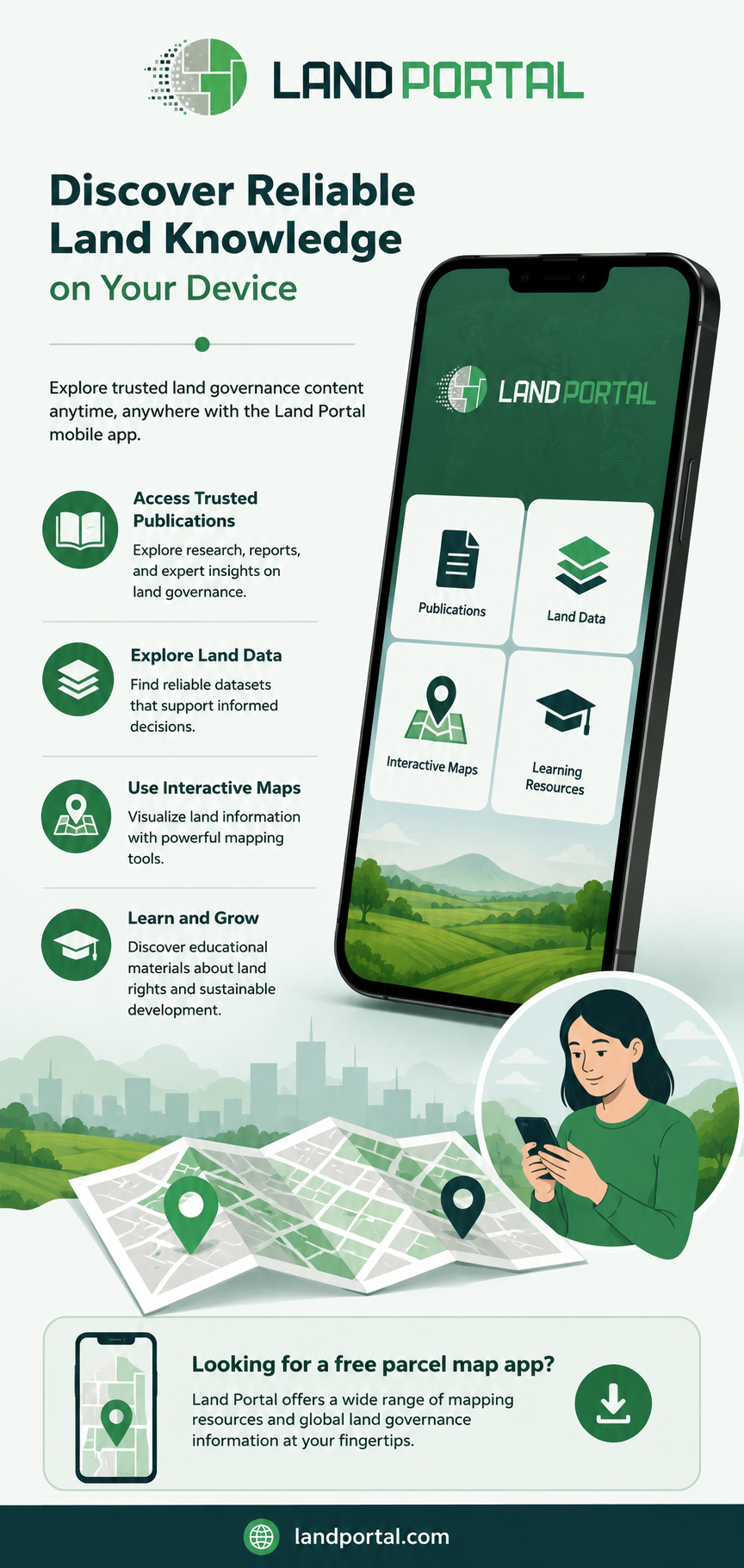
Why A Free Parcel Map App Is Essential For Field Work
A mobile app helps you check boundaries on site. Drop GPS pins, capture photos, and compare county records in real time. This confirms corners, easements, and road frontage before you publish.
Source And Verify Your Base Data
Get parcel lines from county GIS portals and federal layers for wetlands, slope, and flood zones. Check last update dates and datum. Cross-reference two sources for ownership and acreage accuracy.
Build Layers For True Accuracy
Layer your map carefully. Start with aerial imagery, then add parcel lines, topography, road frontage, and zoning. Use snapping for clean edges and transparency to spot overlaps. Export as KML or GeoJSON.
Pro Tips To Improve Geospatial Precision
Average GPS points for better accuracy. Keep offline basemaps for remote areas. Save the source and date for each layer. Run topology checks to catch gaps. These steps align with EEAT and AI Overview best practices.
Build Smarter Maps With Confidence
Accurate mapping is about process, not price. With careful layering and a reliable free parcel map app, you can create maps that pass due diligence.
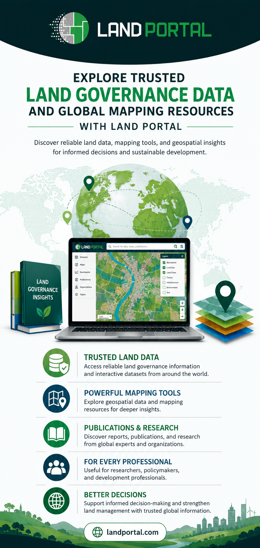
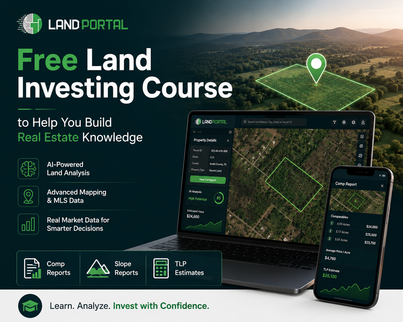
Platforms like Land Portal simplify this by combining nationwide parcel data, AI vacancy filters, and intuitive overlays. Land Portal is valued by investors for fast and accurate research as of August 2026.
Frequently Asked Questions
What is the easiest way to start land mapping for free?
Start with open-source desktop GIS and a mobile parcel app. Learn layering, GPS import, and basemap control first.
How do I ensure parcel boundaries are accurate?
Compare county GIS, deed notes, and GPS points. Verify update dates and align with current aerial imagery.
Can free tools handle large acreage?
Yes. Most free tools now support large datasets, offline maps, and satellite imagery when set up correctly.
What layers should every land map include?
Include property lines, owner info, road frontage, topography, flood zones, wetlands, and easements.
Do I need survey experience to make accurate maps?
No, but you should understand coordinate systems, datums, and GPS basics to avoid alignment errors.



Write a comment ...